In Depth
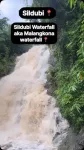
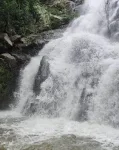
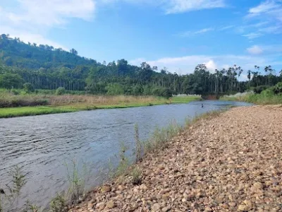
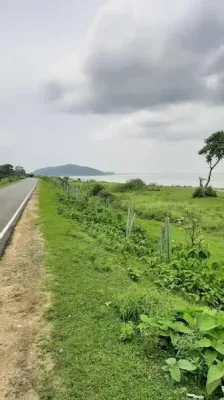
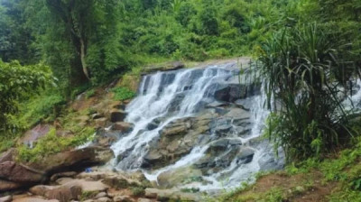
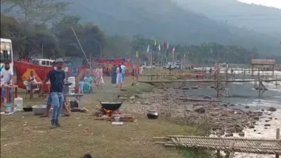
Located approximately 90 km from Guwahati, Malangkona Waterfall is a popular destination for day trips, picnics, photography and short nature walks. The journey takes visitors through rural surroundings and scenic countryside before reaching the area near the waterfall.
What to See and Do at Malangkona Waterfall
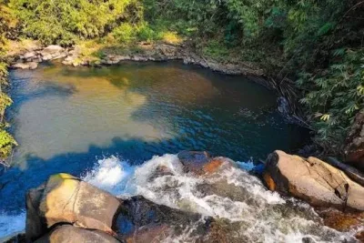
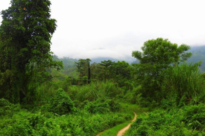
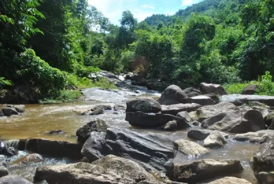
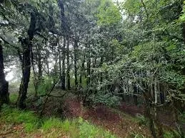
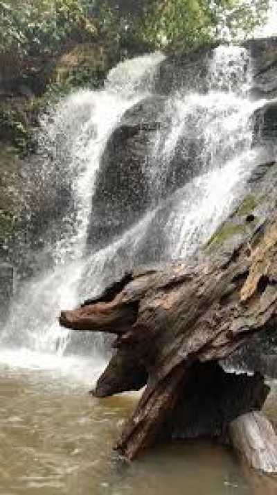
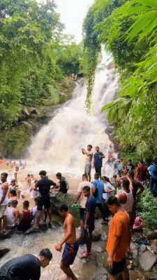
The flowing water, natural rocks and green surroundings make this spot appealing to visitors who enjoy outdoor experiences. Travellers can relax beside the stream, take photographs, explore the surrounding landscape and organise a small picnic. Some visitors also enjoy bathing in the water, but swimming should only be considered when conditions are safe. Strong currents, slippery rocks and sudden rises in water levels can make entering the stream dangerous.
Unlike destinations that require a demanding trek, the final approach to Malangkona Waterfall is generally described as a short walk of around 10 to 15 minutes from the parking or drop-off area. The exact walking distance and road conditions may vary depending on the route and recent weather.
How to Reach Malangkona Waterfall from Guwahati
Visitors can travel by road from Guwahati towards Boko and continue in the direction of Aradonga and the nearby Malangkona or Songancheng village area. The final stretch may include rough or unpaved roads, so a suitable vehicle and careful driving are advisable. From the accessible parking point, visitors can walk through the natural surroundings to reach the falls.
The journey from Guwahati may take approximately two to three hours, depending on traffic, road conditions and the chosen route. Checking local directions before departure is recommended.
Best Time to Visit
The waterfall is generally most impressive during and after the monsoon, particularly from July to October, when the surrounding vegetation becomes lush and the water flow may increase. However, heavy rainfall can create dangerous currents, slippery paths and difficult road conditions. For a more comfortable outing, consider visiting after checking the local weather forecast.
Travel Tips for Visitors
Malangkona Waterfall has limited visitor facilities, so carry drinking water, snacks and any essentials you may need. There may not be reliable food stalls, toilets or organised waste-disposal facilities nearby. Take all rubbish back with you, avoid leaving plastic bottles behind and respect the natural environment. With sensible planning and care, Malangkona Waterfall can be a refreshing nature escape near Boko for families, friends and photography enthusiasts.