In Depth
Natural Beauty and Forest Surroundings
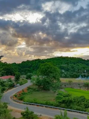
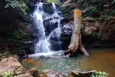
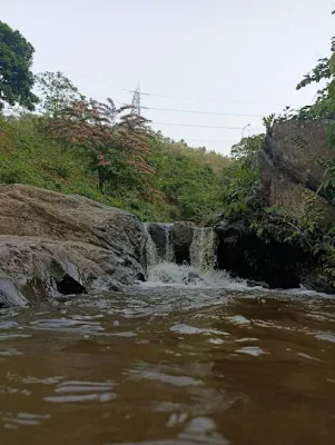
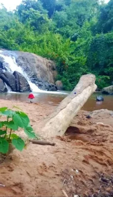
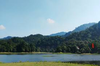
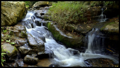
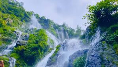
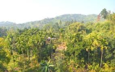
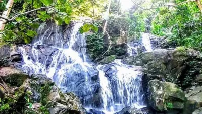
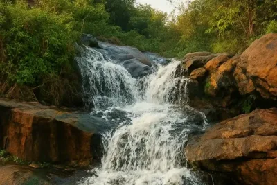
The waterfall is associated with the forest landscape near Amchang Wildlife Sanctuary, an area known for its greenery and wildlife habitat. The surrounding vegetation and rocky stream make it an appealing setting for nature photography and outdoor exploration. Depending on rainfall and the season, the waterfall's flow and the appearance of the surrounding landscape can change considerably.
Visitors may enjoy the sound of flowing water and the peaceful atmosphere of the forest. However, wildlife sightings are not guaranteed, and the surrounding forest should be treated as a natural habitat rather than a recreational park.
Trekking and Things to Do
Reaching Bonda Waterfall may involve walking along uneven forest paths and rocky sections. The route can appeal to people who enjoy short hikes, but the difficulty depends on the trail condition and recent weather. Visitors can photograph the waterfall, observe the natural surroundings and enjoy a short nature walk where access is permitted.
Swimming or entering the stream is not recommended because water depth, current strength and submerged rocks may be difficult to judge. Slippery surfaces and sudden increases in water flow can create serious hazards.
Location and How to Reach
Bonda Waterfall lies approximately 21-22 km from central Guwahati, although the distance depends on the starting point and the accessible trailhead. Visitors can travel by road via NH 27 towards Bonda and the surrounding forest area. Narengi Railway Station is a nearby rail connection, while Lokpriya Gopinath Bordoloi International Airport serves travellers arriving by air. Local transport may be needed to reach the starting point of the walk.
Before planning a visit, confirm whether the trail is currently open and whether any forest access restrictions apply. Local guidance is advisable because the route may not have developed tourist facilities or clear signage.
Best Time to Visit
The waterfall can look especially impressive after rainfall, but the monsoon also increases the risk of slippery paths, strong currents and sudden water-level changes. Choose a period with favourable weather and avoid visiting during heavy rain or immediately after severe rainfall.
Travel Tips and Safety
Wear sturdy footwear with good grip, carry drinking water and travel with someone familiar with the route. Do not litter, disturb wildlife or enter restricted forest areas. Since visitor access may be limited due to safety concerns, check local advisories before travelling.
Bonda Waterfall offers a glimpse of the forested natural surroundings near Guwahati, but a safe and responsible visit depends on current access conditions and careful preparation.