Introduction: Life Along the Brahmaputra
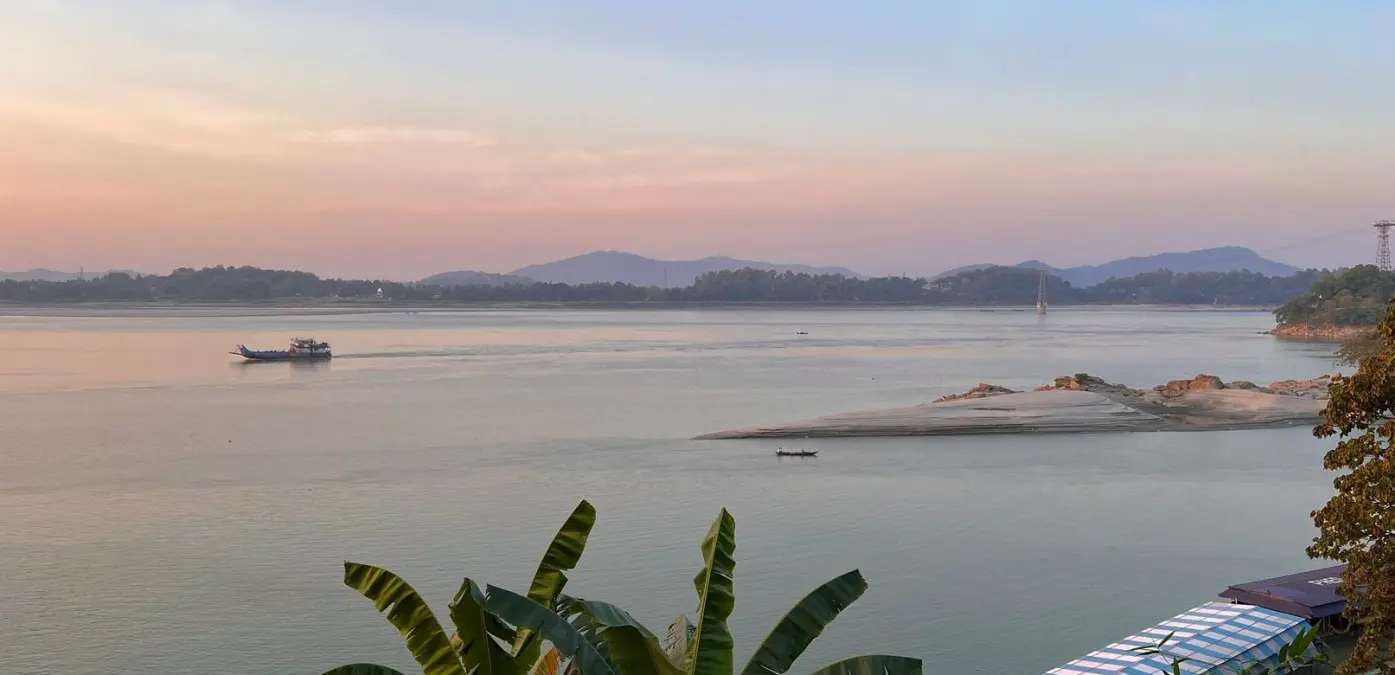
The mighty Brahmaputra River is the lifeline of Assam, shaping both the geography and the lives of millions of people. While the river enriches the region with fertile silt that supports agriculture, it also creates one of the most unstable landscapes in India known as the Char-Chapori areas.
These riverine islands and sandbars are constantly changing due to floods and erosion. For the communities who live here, life is a continuous struggle with nature, where land can disappear overnight and new islands can form elsewhere.
Despite these challenges, nearly 10 percent of Assam's population lives in these areas, making them one of the most unique human settlements shaped by a river ecosystem.
What Are Char and Chapori?
In the geography of Assam, the terms Char and Chapori describe two types of riverine landforms created by the Brahmaputra.
-
A Char is a sandy island or sandbar formed by river deposits.
-
A Chapori refers to low-lying riverbanks that are prone to flooding.
Both landforms are temporary and continuously reshaped by the flow of the river. A village located on a char today may be washed away during the monsoon and later reappear as a new sand deposit somewhere else.
Because of this constant transformation, these regions are often described as floating landscapes within the braided channels of the Brahmaputra.
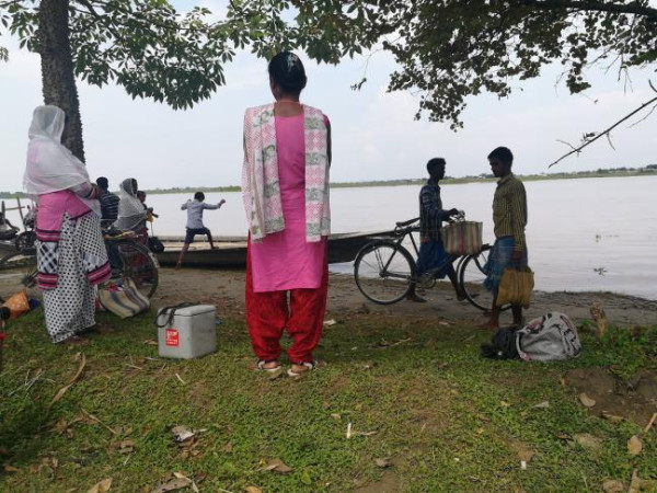
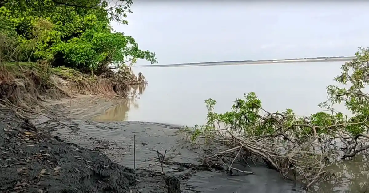
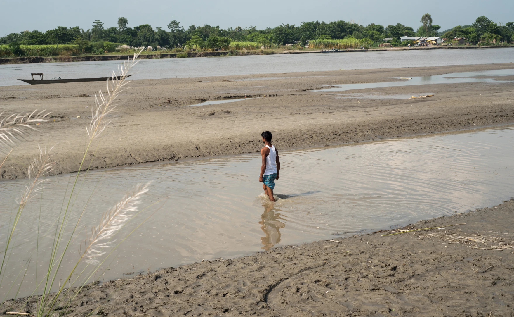
Constant Displacement and Riverbank Erosion
Riverbank erosion is one of the biggest challenges faced by residents of the char-chapori areas. The Brahmaputra behaves in a dynamic push and pull manner, eroding land in one place while depositing sediment in another.
As a result, thousands of families lose their homes every year. Studies suggest that over two million people in Assam have experienced displacement due to river erosion.
During the monsoon season, many char islands become isolated from the mainland. Floodwaters often submerge large portions of the land, forcing residents to take shelter on elevated platforms for days.
This cycle of erosion, flooding and relocation has become a permanent feature of life along the river.
Economy of the Char Areas
Despite the risks, char areas remain heavily populated because the soil is extremely fertile. The fresh silt deposited by the Brahmaputra makes the land suitable for agriculture.
Farmers cultivate crops such as:
-
Vegetables
-
Pulses
-
Jute
-
Seasonal crops during the winter months
Many residents belong to the Miya community of Bengali origin, while indigenous communities such as the Mising tribe also inhabit these regions.
Agriculture, fishing and livestock rearing form the backbone of the local economy.
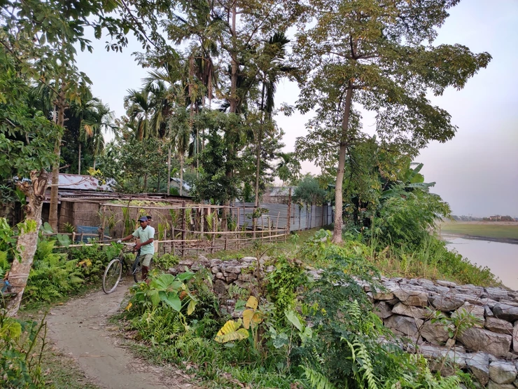
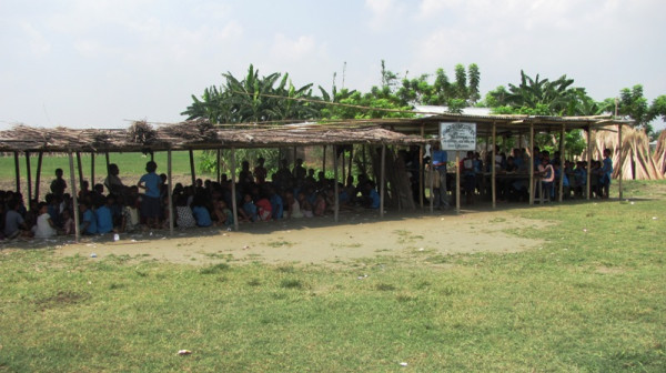
Lack of Infrastructure and Development
The char areas are among the most socioeconomically vulnerable regions in Northeast India. Basic infrastructure is limited due to the constantly shifting geography.
Some major challenges include:
-
No permanent roads or bridges
-
Dependence on small boats such as bhutbhuti for transport
-
Limited access to schools and healthcare
-
Lack of electricity and communication networks
Nearly 80 percent of the char population lives below the poverty line, highlighting the urgent need for development initiatives in these regions.
The Mising Tribe and River Life
Among the communities living along the Brahmaputra, the Mising tribe are often described as river people.
The word Mising comes from mi meaning man and asi meaning water, reflecting their deep connection with rivers. The tribe is one of the largest indigenous groups in Assam and is mainly found in districts such as:
-
Lakhimpur district
-
Jorhat district
-
Dibrugarh district
-
Dhemaji district
-
Golaghat district
Their homes, called chang ghar, are built on bamboo stilts to protect them from seasonal floods. These raised houses are an example of traditional architecture adapted to flood-prone environments.
The Misings depend on agriculture, fishing and animal husbandry and have historically lived close to the river for generations.
Climate Vulnerability and Migration
The char-chapori regions are among the most environmentally fragile landscapes in India. Climate change is making monsoon patterns more unpredictable, increasing the intensity of floods and river erosion.
Many residents who lose their land are often referred to as environmental migrants because they are forced to relocate repeatedly due to natural forces.
However, many families still return to new char islands after floods recede because these lands remain their only source of livelihood.
Government Initiatives and Development Efforts
Recognizing the challenges faced by these communities, the government has introduced programs such as the Char Areas Development Programme.
These initiatives aim to improve:
-
Education access
-
Healthcare services
-
Rural infrastructure
-
Agricultural development
However, experts believe that long-term solutions require sustainable river management strategies along with social and economic development programs.
A Story of Survival and Resilience
Life on the char-chapori islands of Assam is a story of resilience. Communities living here rebuild their homes again and again after floods and erosion.
Their houses are often constructed using bamboo and thatch so that they can be dismantled quickly during emergencies.
Despite uncertainty, strong community cooperation ensures that families support each other during floods and difficult times.
For the people of these islands, the shifting sands of the Brahmaputra are not just landforms but the place they call home.